Content can be downloaded for non-commercial purposes, such as for personal use or in educational resources.
For commercial purposes please contact the copyright holder directly.
Read more about the The Creative Archive Licence.
Description
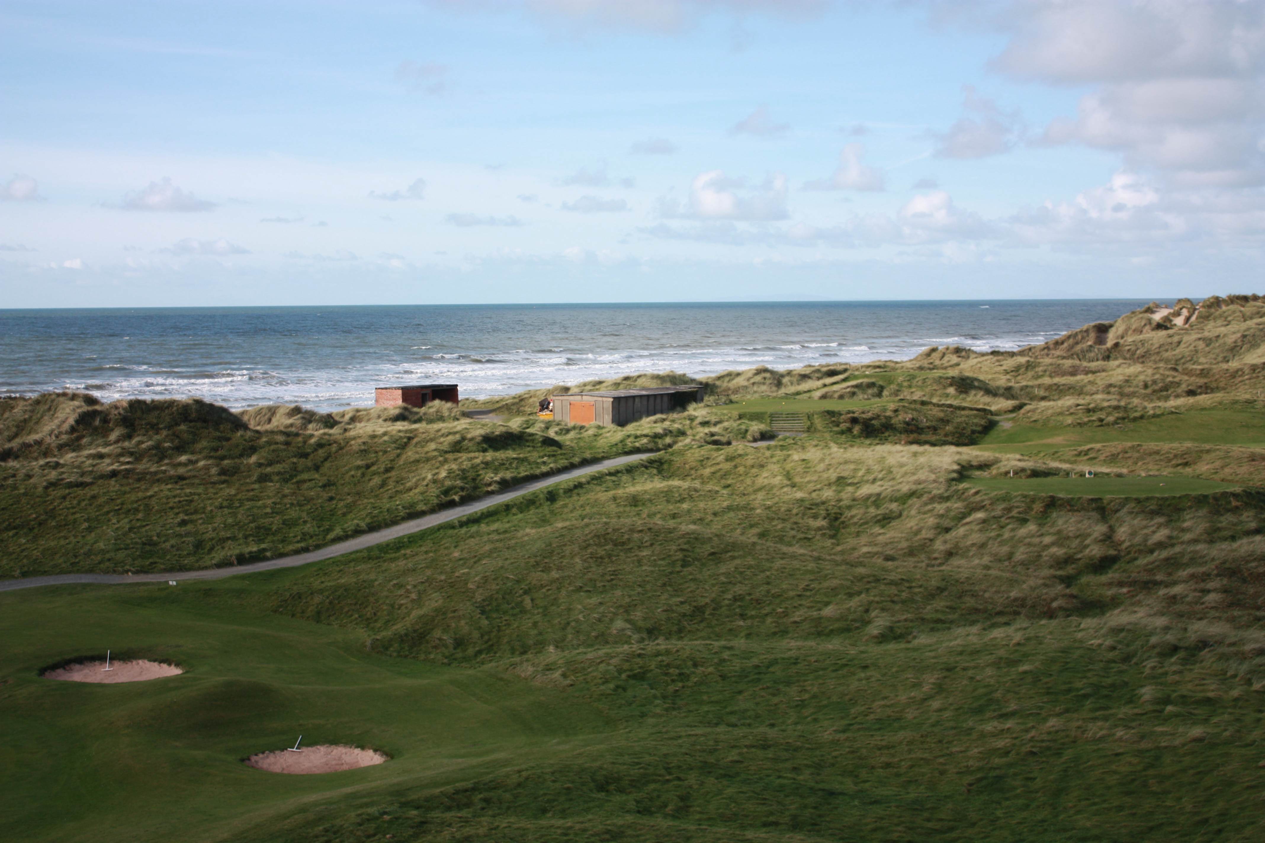
The small hill behind Moel Ynyslas was used as a navigation mark and is shown with flagstaff on Lewis Morris's early Admiraly chart dating to 1740. When the Ynyslas was developed as a firing range, a brick platform was built and range finder installed looking out over the offshore range. The observation post and its accompanying BCF hut can be seen in the distance at the edge of the dunes.


Do you have information to add to this item? Please leave a comment
Comments (0)
You must be logged in to leave a comment